×

The Standard e-Paper
Stay Informed, Even Offline
 The Standard Group Plc is a
multi-media organization with investments in media platforms spanning newspaper
print operations, television, radio broadcasting, digital and online services. The
Standard Group is recognized as a leading multi-media house in Kenya with a key
influence in matters of national and international interest.

Audio By Vocalize
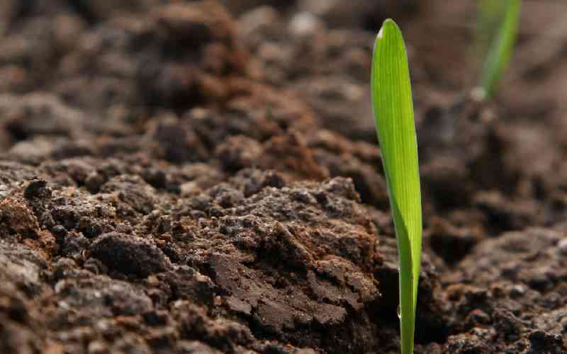
Every planting season, millions of farmers invest heavily in seeds, fertilisers and labour, hoping for a good harvest. Yet many are disappointed when yields fail to match expectations. The problem is often attributed to unreliable rainfall, pests or poor-quality inputs. While these factors matter, there is another challenge that is frequently overlooked: Many farmers simply do not know the condition of the soil on which they depend on for their livelihoods.
Soil is the foundation of agriculture. It is far more than the ground beneath our feet. It stores water, supplies nutrients, supports plant growth and sustains the biological processes that make food production possible. Yet across Kenya and many parts of Africa, decisions on what to grow and what fertilisers to apply are often made without a clear understanding of the soil itself; a critical decision and life-saving intervention.
This approach comes at a cost. Farmers may apply fertiliser expecting higher yields only to discover that the nutrients added are not what the soil lacks or needs. In some cases, soils are too acidic for crops to utilise applied nutrients effectively. In others, deficiencies in key elements such as phosphorus, potassium or micronutrients limit productivity. The result is wasted resources, declining soil health and lower returns on investment – and a demotivated farmer.
The solution begins with soil testing.
A simple soil test provides valuable information about nutrient levels, soil acidity or alkalinity, organic matter content and other characteristics that influence crop performance. With this knowledge, farmers can make informed decisions about what crops are best suited to their land and what interventions are needed to improve productivity.
The difference can be significant. Two neighbouring farms may appear identical and experience the same weather conditions yet require completely different management practices. One may benefit from lime to reduce soil acidity while the other may need additional phosphorus or organic manure. Soil testing removes the guesswork and replaces it with science-based recommendations that help farmers achieve better yields while reducing unnecessary expenditure on inputs.
But while soil testing is essential at the farm level, soil mapping takes this knowledge to an entirely different scale.
Soil mapping creates a comprehensive picture of soil characteristics across landscapes, counties and entire countries. By combining soil samples, laboratory analysis and modern geospatial technologies, scientists can develop detailed maps showing variations in soil properties and crop suitability. These maps help answer critical questions that farmers, policymakers and investors face every day. Which crops are best suited to specific regions? Where are soil fertility constraints most severe? Which areas require restoration? Where should investments in irrigation, fertiliser distribution and which soil and crop management practices be prioritised?
At a time when longer and more frequent droughts are increasing production risks and agricultural land is under growing pressure from ever-increasing demands, such information is no longer a luxury. It is a necessity. Reliable soil data and information allow governments to design targeted agricultural programmes, improve resource allocation and support farmers with location-specific recommendations rather than relying on broad national averages.
This is why initiative - the Soil Mapping for Resilient Agrifood Systems (SoilFER) Programme - is so important. Funded by the United States Department of State and the Ministry of Foreign Affaires of Japan, implemented through partnerships involving governments, research institutions and the Food and Agriculture Organisation of the United Nations (FAO), SoilFER is helping build soil intelligence needed to transform agrifood systems to become more resilient.
As the global population continues to grow and agricultural resources become increasingly constrained, expanding production will not be about cultivating more land. It will be about using existing land more efficiently and sustainably, it is about avoiding, reducing and reversing agricultural land and soil degradation. That begins with understanding what lies beneath our feet.
Healthy soils produce healthy crops. Healthy crops support healthy communities. And healthy communities drive prosperous economies.
The journey to a food-secure future begins with knowing our soils.
- The writer is Deputy Director of FAO's Land and Water Division and the Lead Technical Officer for the SoilFER Programme
Stay informed. Subscribe to our newsletter
Subscribe to our newsletter and stay updated on the latest developments and special offers!
 Prefer the Standard on Google