×

The Standard e-Paper
Smart Minds Choose Us

Audio By Vocalize

Nairobi Governor Johnson Sakaja has ordered the preparation of a 48-hour action plan to address flooding, drainage failures and infrastructure damage across the city.
This comes a day after the Ministry of Interior and National Administration flagged out 37 flood-prone areas in Nairobi following a mapping exercise conducted under the Nairobi Rivers Regeneration Programme.
The study found that many vulnerable areas lie along major river corridors and tributaries of the Nairobi River, exposing them to flooding when water levels rise.
In the eastern parts of the city, areas identified as high-risk include Kiambiu, Dandora, Kariobangi, Kayole, Komarock, Njiru, Ruai, Mwiki, Donholm, Savannah, Tassia and Fedha.
Many of these neighbourhoods lie downstream along sections of the Nairobi River and experience flooding when the river bursts its banks during heavy rains.
In the western parts of the city, areas such as Madaraka, Nairobi West, Lang’ata, Kawangware, Kangemi, Lavington, Westlands, Parklands, Kitisuru, Spring Valley, Kileleshwa and Chiromo have also been flagged as vulnerable.
Sakaja instructed officials to immediately prepare a comprehensive report detailing drainage hotspots, damaged roads and infrastructure, and the interventions required to
restore services in affected areas.
“The plan should allow immediate interventions to restore normalcy across affected areas,” Sakaja said.
The governor issued the directive after an urgent meeting at City Hall between county officials and representatives from national government agencies as authorities race to
mitigate the impact of ongoing downpours that began earlier this month.
The meeting brought together several Principal Secretaries and officials from key national infrastructure agencies to assess the worsening flooding situation in the capital and
coordinate an emergency response.
He directed county engineers to work closely with national road agencies to verify assessments and determine the scope of repairs needed.
“Look at the assessment already done by the county engineers. Get that validated by KURA, incorporate KeNHA and KeRRA to do some roads in the city. Let us look at what
Stay informed. Subscribe to our newsletter
Google and ESRI can assist with,” he said.
Under the directive, the report will map critical drainage points across the city, identify roads damaged by floods and provide estimates of the cost of repairs as well as the
agencies responsible for implementing them.
The Implementation Committee on the Cooperation Agreement between the national government and the county government is expected to reconvene later this week to review
the report and approve urgent interventions.
Among the key mitigation measures agreed upon during the meeting is the prioritisation of repairs and recarpeting of roads that have been damaged by the floods.
Officials also discussed expanding street lighting infrastructure across informal settlements, highways and residential estates in order to improve safety and accessibility during the ongoing rains.
Authorities say the damage to roads, homes and other infrastructure is still being assessed, with losses expected to run into millions of shillings.
The flooding crisis in the capital is part of a wider national emergency triggered by heavy rainfall in many parts of the country.
According to government figures, the death toll from floods nationwide has risen to 66, while thousands of families have been displaced.
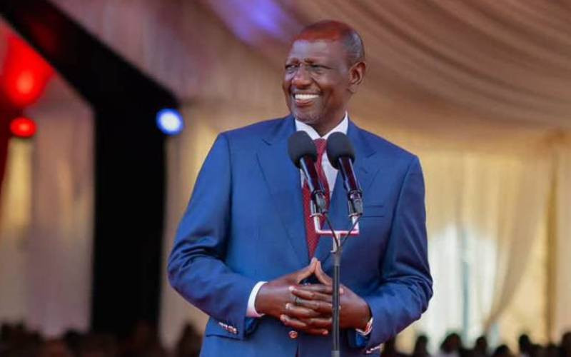
President William Ruto on Sunday assured Kenyans that the government has mobilised a multi-agency response team to manage the situation and assist affected communities.
In a statement, the president said emergency services, security agencies, humanitarian teams and technical departments are coordinating response efforts across the country.
The identification of these areas will guide emergency preparedness and long-term flood mitigation efforts.
Technology firms are also exploring new tools that could help authorities respond more quickly to flood risks.
Researchers at Google have developed a flash-flood forecasting tool that can predict the risk of urban flooding up to 24 hours in advance.
The tool, available on the Flood Hub platform, uses satellite data and synthetic aperture radar images to estimate flooded areas and produce rapid flood maps using artificial intelligence.
Google says the system combines satellite imagery with mapping technology to identify affected areas and help emergency teams plan response efforts.
City authorities say the integration of such technologies could improve early warning systems and help Nairobi better prepare for extreme weather events.
Subscribe to our newsletter and stay updated on the latest developments and special offers!