By JULIUS ORWA K’OBADO

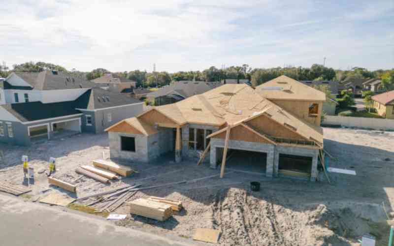
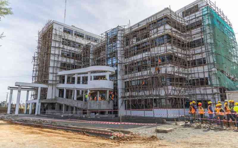
The ongoing property demolitions in Nairobi and its environs could be illegal.

Thus, anybody whose property has been damaged should get hold of the plans used to demolish their properties and check for the name of the surveyor who carried out the survey and confirm with the Secretary of the Kenya Land Surveyors Board to ascertain whether that surveyor is allowed to carry out surveys affecting property boundaries.

In Kenya, title mapping is under the docket of Survey of Kenya, the country’s official mapping agency.

The only person allowed to carry out a survey that affects any property is a surveyor, which can be a Government surveyor or a licensed private surveyor, according to the Survey Act Cap 299.

Authority

A government surveyor is any officer of the Survey Department of the Government who is authorised by the director of surveys to perform any survey duty under the Survey Act. A licensed surveyor, on the other hand, is a surveyor duly licensed under the Survey Act.

Many surveyors employed by other government departments to carry out topographical and engineering surveys are not authorised to carry out any surveys affecting any property in Kenya unless they have either obtained permission to do so from the director of surveys or are licensed surveyors in possession of current practising certificates.

According to section 32 of the Survey Act, no land shall be deemed to have been surveyed or resurveyed until the plan thereof has been authenticated by the director of surveys or of a Government surveyor authorised by the director in writing… or by the affixing of the seal of the Survey of Kenya.

Therefore, any survey affecting property boundaries done by people purporting to be surveyors from the Ministry of Infrastructure or any of its parastatals, unless so authorised, should be questioned.

Accordingly, any surveys carried out by non-government surveyors or non-licensed surveyors are illegal surveys that should not be used to either compensate anybody for any property damaged or be used as a basis for any demolitions.

Critical decisions

Some surveys that have been used to compensate people for compulsorily acquired properties are illegal, as they have not been deposited with the official mapping agency.

The problem is that there is lack of coordination between Government departments whereby officers from Ministry of Infrastructure carry out surveys affecting property boundaries and keep the resultant maps to themselves instead of completing the process by submitting those maps to the Director of Surveys as required by law.

There are so many roads in this country whose positions are not reflected in the official property maps kept by Ministry of Lands.

It is, therefore, important that the relevant authorities should adequately compensate the ordinary Kenyans who have been misled by land registries into acquiring unquestionable parcels of land.


Business
Premium Civil servants face the axe as Ruto seeks to ease ballooning wage bill
Real Estate
Premium End of an era: Hilton finally up for sale, taking with it nostalgic city memories
Business
Total Energies to pay businessman Sh4 million
Business
Kenya to miss growth target on budget gaps and revenue leaks