What to consider when building near a waterway

A private car is submerged in Langata Royal Park Estate after a heavy downpour in Nairobi. This was on 15/03/2017. [Pius Cheruiyot, Standard]

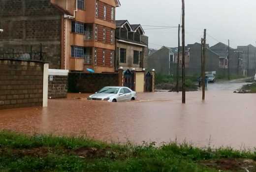
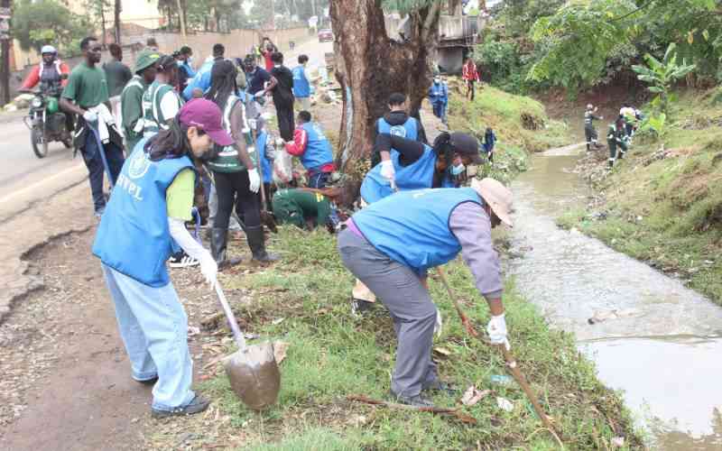
The nation is still coming to to terms with the deaths and destruction caused when a dam burst last week in Solai, Nakuru. In the face of this and other incidenst witnessed in the last two months, the question that comes to mind is: What safety measures should developers put in place when building next to a water body?

The Solai dam tragedy left almost 50 people dead. The dam burst after heavy rains that have been pounding various parts of the country.

Recently, the seasonal Stony Athi River swelled and burst its banks following heavy rains in the upstream parts of Kajiado and Machakos. The deluge saw rising water levels that affected a bridge on Mombasa highway, leading to temporary closure.

The floods that rose five metres above the normal level destroyed a section of the nearby Greenpark Estate’s perimeter wall.

Out of the ten homes affected by the floods, at least three had household items destroyed.

While experts argue that the current rains are higher than normal, the country has always experienced property destruction even with lower amounts of rain. What then should developers keep in mind?

Government regulations require a developer to leave enough space between the boundary wall and a water body. In most cases, developers use the six to 30-metre rule under the Environmental Management and Conservation Act.

The sub-division regulations in the Physical Planning Act stipulate that “way leaves or reserves along any river, stream or watercourse shall be provided of not less than 10 metres in width on each bank, except in areas where there is an established flooding”.

Oceans and lakes

They further state that reserves along the ocean and lake beaches “shall be provided of not less than two kilometres and one kilometre, respectively”. The Greenpark wall that gave way during the flash floods was 20 metres above the high water mark.

Unfortunately, these regulations are ignored in certain cases partly due to the different interpretations of laws that govern land and construction.

For example, Survey Act, the Water, Agriculture and the Physical Planning Acts give what appears to be contradicting policies regarding the use of registered property up to the river or other water body.

Ibrahim Mwathane, the chairperson of the Land Development and Governance Institute, says having laws that allow for different interpretations confuses even the “learned architects”.  

“There are very contradictory pieces of legislation that affect land use on what are termed riparian areas. Apart from the six- to 30-metre rule (above the high water mark), another school of thought puts the boundary at the centerline of a river. At the Coast, there are regulations that put a bandwidth of not less than 60 metres above the high water mark. Few hoteliers have respected that boundary,” says Mr Mwathane.

Mwathane says the issue will become more complicated as water levels in our oceans rise due to global warming. He proposes that the government forms a team of experts to harmonise all pieces of legislation.

He also says all wetlands ought to be mapped so that experts can use reliable data.

“In this era of technology where aerial photography and satellite information is available, it should not be difficult to create maps that can guide government agencies in formulating the best course of action in times of water-based disasters,” he says.

Separate advisories

Town planner Mairura Omwenga says due to such conflicts in regulations, each agency gives separate advisories and complicates matters for developers.

Laws notwithstanding, experts say those making use of any land next to water bodies ought to respect such natural resources as a matter of professional principle.

Reginald Okumu, chairman of Superior Homes Kenya board, developers of Greenpark Estate, says there is a general notion that one should not develop next to a water body. If that was the case, he says, most of the cities in Europe would never have been constructed.

“One can use land next to a water body such as a river as long as proper approvals are obtained. You may have gone to Masai Mara and seen some lodges on water edges. We would believe that proper research was done before any approvals were given in such instances,” he says.

Mr Okumu says we cannot wish water or heavy rains away as these are natural occurrences. However, he says government agencies should harmonise rules on ways of mitigating any possible disruptions on people’s lives.

He says on the day the lower part of Greenpark Estate flooded, it had not rained in Athi River where the project is located. The water came from Ngong Hills and higher adjacent areas. He says the government should have proper warning systems to give people, especially those in the line of potential floods, enough time to prepare.

“The government can invest in proper data collection that gives regular updates on high water marks, information that can be used by developers in designing structures near such water bodies. It can also desilt the waterways to create more volume in rivers, lakes and dams,” he says.

Francis Gichuhi, principal architect with A4architect, says Kenyans should be more proactive in mitigating such natural occurrences.

“Building professionals need to do site surveys before construction, including checking any available flood data from meteorological department if they are to build next to lakes, rivers, dams and swamps. The information will help them reinforce their structures accordingly,” he says.

As Omwenga says, the increase in population means that we are building more and reducing the land where runoff water used to drain.

[email protected]