State dreams big with new resource mapping project

President Uhuru Kenyatta received the final report of the nationwide airborne geophysical survey at State House on June 2022. [Denish Ochieng, Standard]

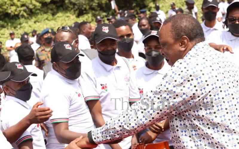
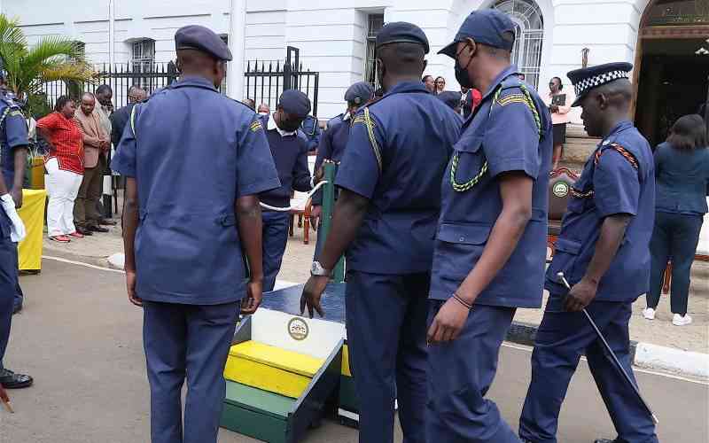
The government has launched digital systems created by groups of youth which it says would be applied to improve management of land, forests, water, mineral resources and revenue collection.

President Uhuru Kenyatta is confident that if used correctly, the eight projects launched at State House yesterday could eliminate corruption and make the government more transparent.

Uhuru also received the final report of the nationwide airborne geophysical survey and launched seven other projects that provide current and comprehensive geospatial data covering the entire country.

He said the projects could change the course of Kenya’s national landscape and help in the desperate fight against graft.

Some of the systems launched included the National Geological Database, National Addressing System of Kenya, Kenya National Spatial Data Infrastructure, Online Mining Cadastre, ArdhiSasa digital platform, Nairobi Revenue System and Airborne Geophysical Survey.

He said the output maps had already been of aid to the Ministry of Education in mapping out schools countrywide, the Ministry of Roads in creating access and identification of road reserves, Kenya Power in mapping out the location of electricity meters and transformers and the Kenya Forestry services in mapping out forest cover and identifying encroached areas.

He said that the system had helped to map out schools and stop widespread corruption. Uhuru added that the government had a resource to show where the schools were and how many students they had so that capitation could be given based on factual information. “We no longer just have to rely on what the principals say,” he said.

The government is also hoping to cut down on the funds used to compensate landowners who have parcels on road construction sites or who had grabbed road reserves.

“We will identify road reserves and prevent illegal structures which become very expensive during the construction because the land set aside has been grabbed,” he said. Uhuru said that Taifa Pay, which is used to collect most government revenues within Nairobi, would remove the need to have private systems.

Real-time

Taifa pay is a government-owned revenue management system that shows real-time payments being made to the government. “Some of the systems have back doors which some people can access and steal half the money. This will be a thing of the past and I hope and pray that all government institutions will use this system and ensure we secure our resources,” he said

Uhuru was particularly ecstatic that Kenya finally had an inventory of its natural resources. “We have, for the very first time in our nation’s history, painstakingly pieced together an inventory of Kenya’s natural resources,” the President said. He said Kenya had become the first African country to conduct such an extensive survey without tapping any foreign organisations.

The team mapped out a wide range of resources including base metals, coal, gemstones, geothermal spots, forest cover, water bodies, precious metals, and rare earth elements.

“State actions can now guide informed and sustainable exploitation of our natural resources, particularly through manufacturing and industrialisation...We know for a very long time our country has been exploited. We do not know what they remove from our land they tell us they are taking to foreign labs to test and what they are taking is material and wealth that we never see back. Now, all of that is history,” said Uhuru.

The national addressing system, which will map all buildings to give them an identity, will be vital in growing e-commerce, and helping to guide emergency vehicles such as ambulances and fire engines.

The Joint National Mapping Project was launched in 2018 as a multi-agency resource mapping project to generate accurate geospatial data and related info systems needed for national planning and development.

Uhuru said the project was borne out of the compelling need to have current and comprehensive geospatial data covering the country.

ICT, Innovation and Youth Affairs Cabinet Secretary Joe Mucheru said the systems launched yesterday were assets that would last the country and lifetimes and which had been delivered without compromise or complaint. “We have demonstrated to ourselves and to the world that it can be done. It is possible to build our own with our own,” said Mucheru.

Mucheru said the digitisation of government services has placed Kenya on a global map in ease of doing business and access to government services.

He added that the applications have done away with a lot of bureaucracy and corruption in government departments.